Seaport Circle
The existing site was an under-utilized expanse of impervious cover, void of any terrain or viable plant material, and KMDG has been pivotal in developing the public realm and green space of this dynamic site.
Seaport Circle
Boston, MA
-
Lincoln Property Company
-
2.52 Acres
-
In Design Development
-
Arrowstreet, architect
Moody Nolan, architect
STUDIO ENÉE, architect
KMDG, landscape architect
Nitsch, civil engineer -
Mixed-Use
-
Neoscape, Arrowstreet, Moody Nolan, STUDIO ENÉE, KMDG
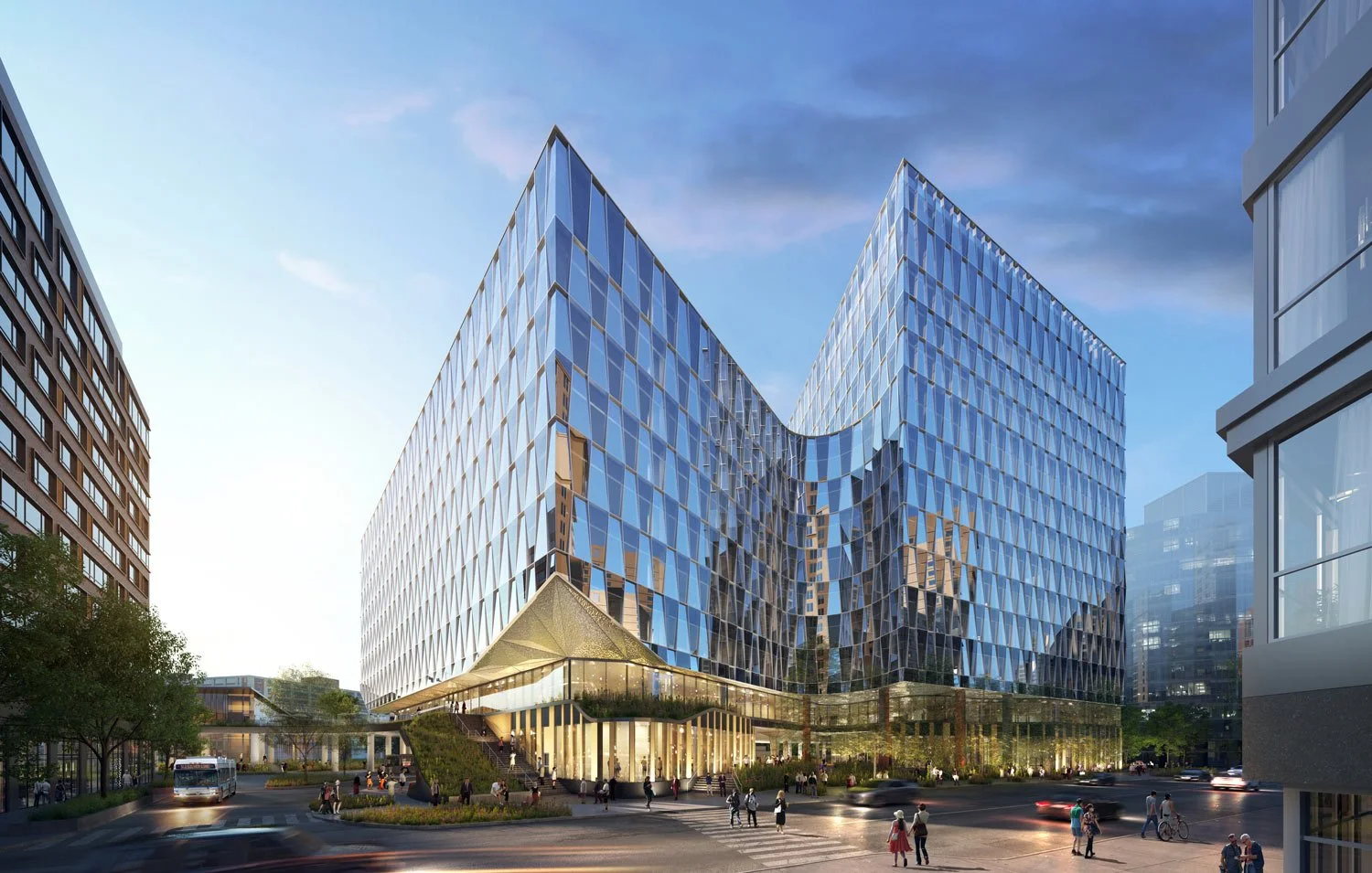
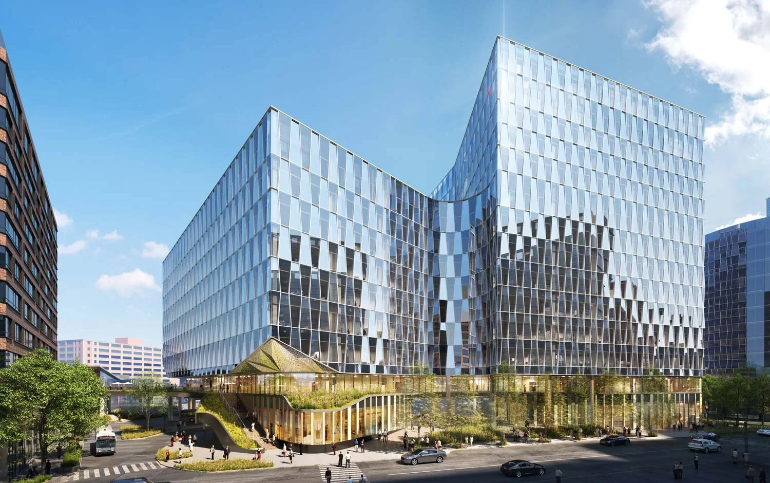
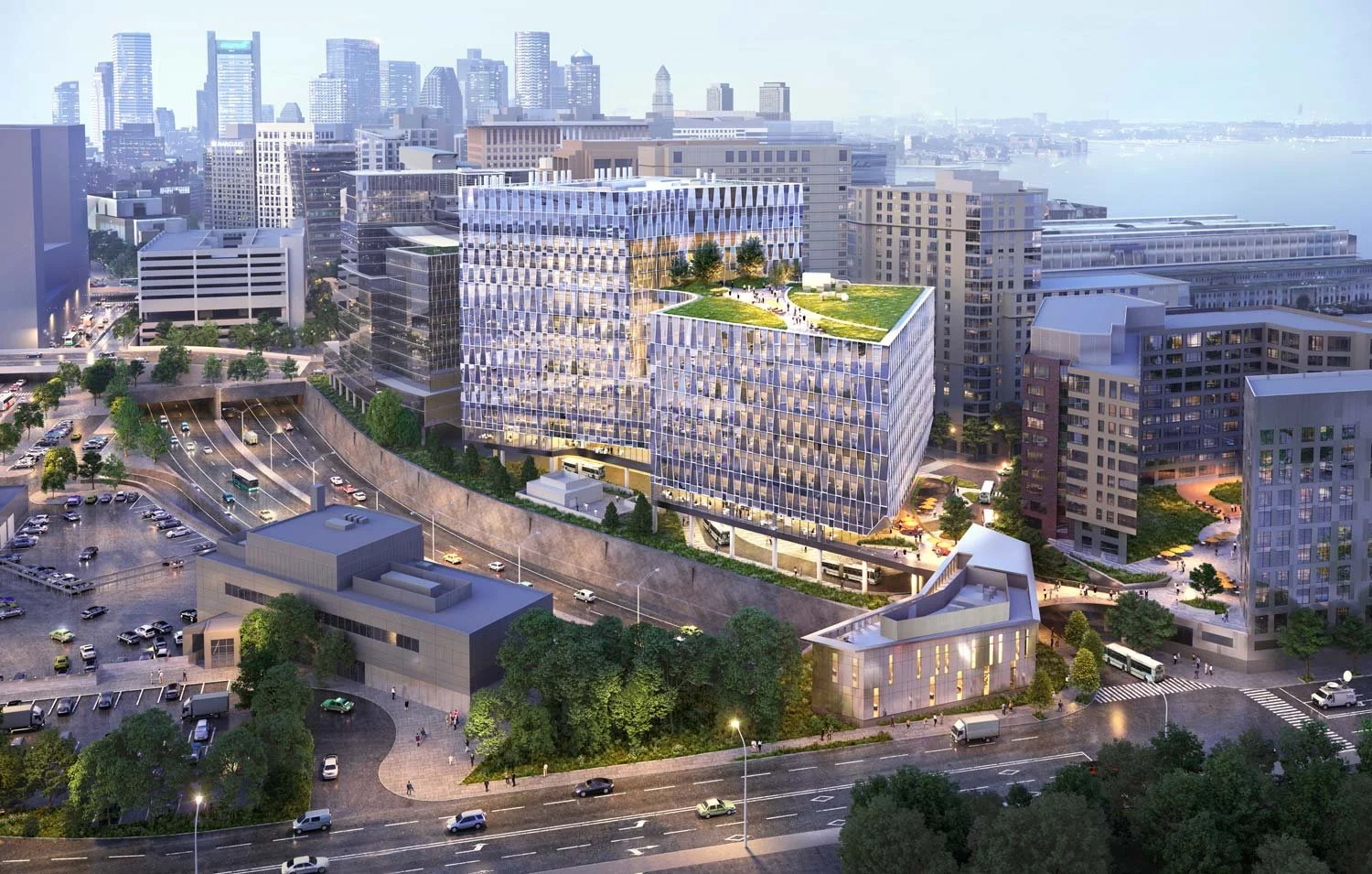
KMDG has teamed with Arrowstreet Architects, Moody Nolan, and Studio Enee to design a 2.52 acre site located in Boston’s Seaport District, immediately adjacent to Interstate 90.
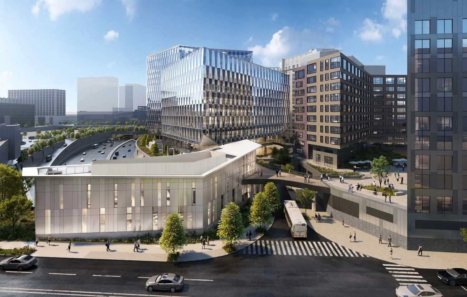
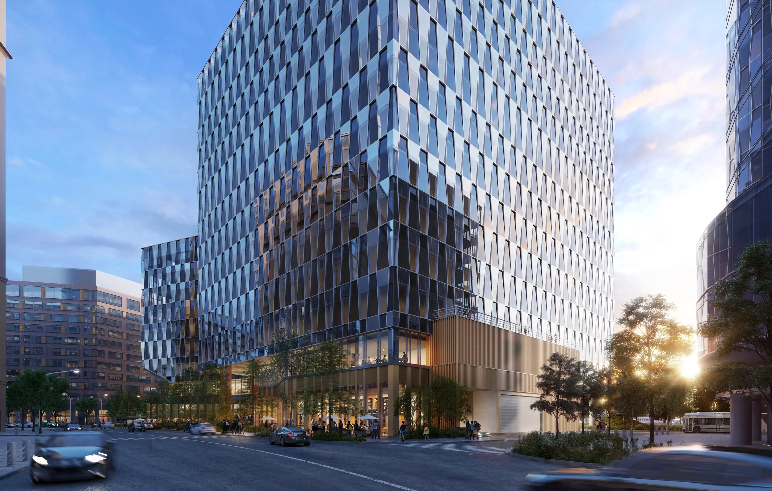
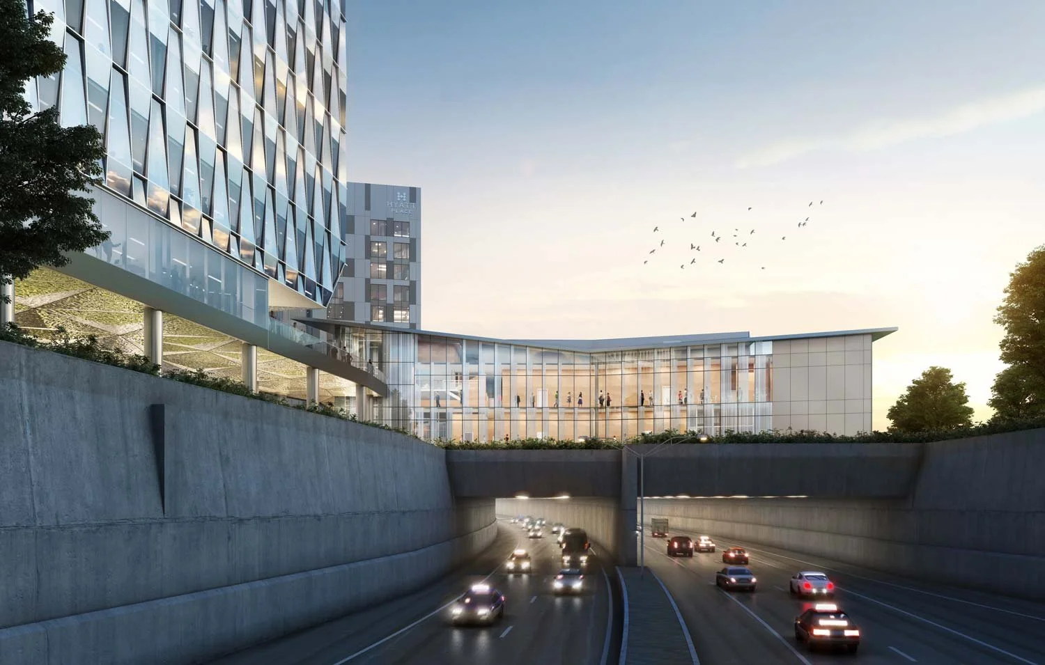
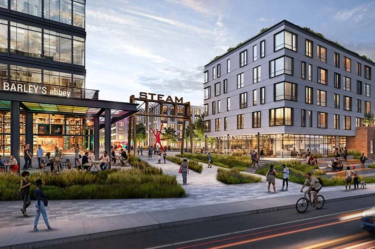
The existing site was an under-utilized expanse of impervious cover, void of any terrain or viable plant material, and KMDG has been pivotal in developing the public realm and green space of this dynamic site. The proposed site will feature a 13-story laboratory and office building; the Pavilion, a 2-story job training/non-profit center perched above the I-90 Ted Williams tunnel; an MBTA Silver Line Way station for the SL1, SL2, and SL3 bus lines; and lastly, an elevated walkway, the “Pedestrian Link”, that will connect the Lab Building, the Pavilion, and the surrounding city context as well as provide public access to the MBTA station. The provision for the City of Boston 2050 resiliency measures that requires all new construction to have ground-levels located four feet above grade has presented challenges for the streetscape and public realm. However, the design team has used this challenge as an opportunity to facilitate pedestrian, bicycle, and transit connections across the site by integrating green corridors and small-scale, interstitial open spaces into Seaport Circle. Multiple public pathways intersect the site, which improve the pedestrian experience by extending public green space within the site, both at the street level and on the elevated Level 2 Pedestrian Link.
The Seaport Circle landscape design is at the forefront of obtaining (City of Boston) Article 80 permitting approval from a multi-agency jurisdiction including the Boston Planning & Design Authority, the Massachusetts Port Authority, and the Massachusetts Department of Transportation, as well as ongoing coordination with the MBTA.
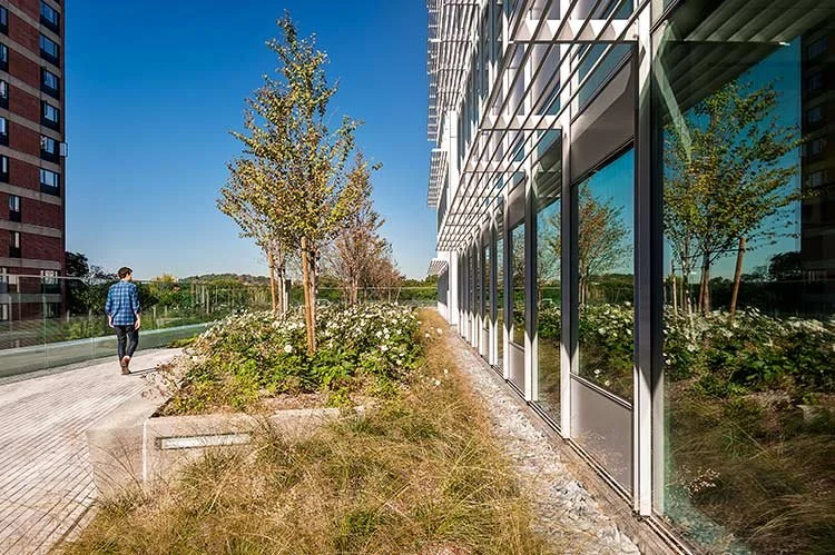
Conceptually, the Seaport Circle landscape references the Boston Harbor Islands and the geomorphological conditions which created them. The Harbor Islands were formed by the westward retreat of glacial ice sheets across what is now Boston Harbor. The resultant glacial till that was deposited created the signature drumlin shapes of the 34 Harbor Islands visible from the Boston waterfront. Using the Harbor Island drumlins as an inspiration for the design parti within the site, the urban terrace is “carved” out of the space between the two laboratory towers. Dispersed around the site are plant beds with integral custom benches, which formally reference the character of the Harbor Islands scattered across the Boston harbor, and the constructed site terrain alongside I -90 features a series of planted landscape drumlins.

